Carbon sequestration is an important process that plays a crucial role in mitigating climate change. One way to measure carbon sequestration is by using Light Detection and Ranging (LiDAR) technology, which can accurately calculate the amount of biomass present on a farm. In Ireland, agriculture is the largest contributor to greenhouse gas emissions, making it a prime location for studying carbon sequestration. This case study explores the use of drone-based LiDAR technology to map farms in Ireland and measure carbon sequestration on the farm.
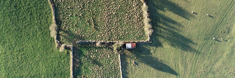
To map farms and measure carbon sequestration, we used a drone equipped with LiDAR technology. The drone was flown across the length and breadth of Ireland, The area mapped covered more than 4500 hectares. The LiDAR data collected by the drone was processed using a software package to create digital elevation models (DEMs) of the farms. These DEMs were then used to create detailed 3D maps of the farms, including vegetation cover, topography, and other features.

To measure carbon sequestration, we used the LiDAR data to estimate the biomass present on each farm. Biomass is the amount of organic matter present in the vegetation, and it is a key factor in determining the amount of carbon sequestered on a farm. We used a machine learning algorithm to estimate the biomass present on each farm based on the LiDAR data. The algorithm was trained using ground-based measurements of biomass, which were collected using traditional methods such as vegetation surveys and biomass sampling.
The drone-based LiDAR mapping and biomass estimation provided detailed information about the farms and their carbon sequestration potential. The 3D maps created using the LiDAR data showed the different types of vegetation cover on each farm, as well as the topography and other features such as water bodies and buildings. The biomass estimation provided an accurate measure of the carbon sequestration potential of each farm, allowing farmers to assess the effectiveness of their current farming practices and make changes to improve carbon sequestration.

One interesting finding from the study was the variation in carbon sequestration potential between different farms. Some farms had high levels of biomass and therefore high carbon sequestration potential, while others had lower levels of biomass and lower carbon sequestration potential. This variation was partly due to differences in farming practices, such as the type of crops grown and the use of fertilizers and pesticides.
The use of drone-based LiDAR technology to map farms and measure carbon sequestration has several advantages over traditional methods. Firstly, it provides a detailed and accurate measure of the biomass present on a farm, which is essential for estimating carbon sequestration potential. Secondly, it allows farmers to identify areas of their farm where carbon sequestration can be improved, and make changes to their farming practices accordingly. Thirdly, it provides a cost-effective and efficient way of mapping large areas of land, which can be time-consuming and expensive using traditional methods.

In conclusion, the use of drone-based LiDAR technology to map farms and measure carbon sequestration has the potential to revolutionise the way we monitor and manage carbon sequestration in agriculture. By providing detailed and accurate information about the biomass present on a farm, it allows farmers to make informed decisions about their farming practices and improve their carbon sequestration potential. As agriculture is the largest contributor to greenhouse gas emissions in Ireland, this technology has the potential to make a significant contribution to mitigating climate change in the country.


This was a large project, not in the area mapped but in the distribution of the plots. Some individual plots were small (5 hectares) while some were large (400 hectares). The farms were distributed across the country, with some farms having sub-plots up to 30km away from the home farm plot. This made setup and logistics a crucial part of the project, as there could be up to 10 different take-off and landing sites per day. Below you will find the project numbers.

Click the following links to find out more about our lidar surveys and farm mapping. Alternatively, you can contact us here.
Last Updated: 10 January 2025